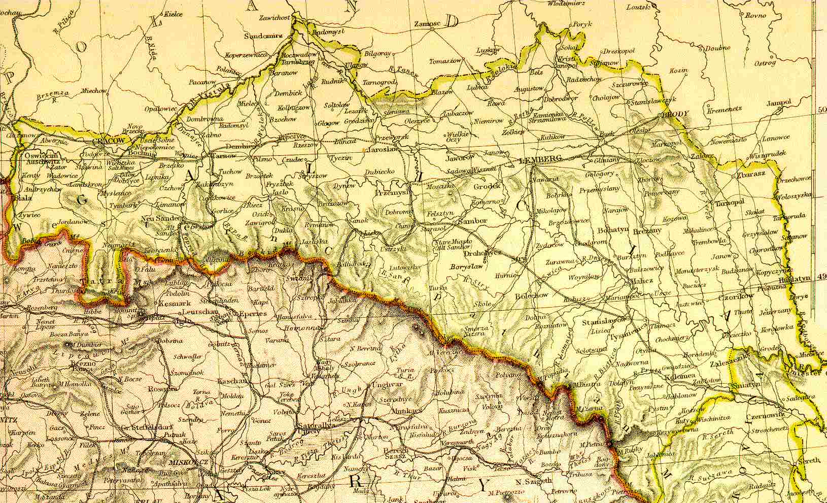
Full map of Galicia
Austro-Hungarian Empire (1882)
© 1996, FEEFHS
See smaler areas near Tarnopol (17 Kb) | S/W of Lwow (34 Kb)
See partial map of east Galicia (123 Kb) Longitude 23oE - 26o30'E Latitude 49oN - 50oN
This 1882 map covers Longitude from 19oE to 27oE Latitude from 48oN to 50o40'N
Zoom OutGalizien Districts
View guestbook | Web-Site Directory
© 1998-2003 'Türkel Tribe'